Strong storms threat expires in Middle Tennessee


NASHVILLE, Tenn. (WZTV) — FOX 17 NEWS is no longer in a CODE RED WEATHER ALERT.
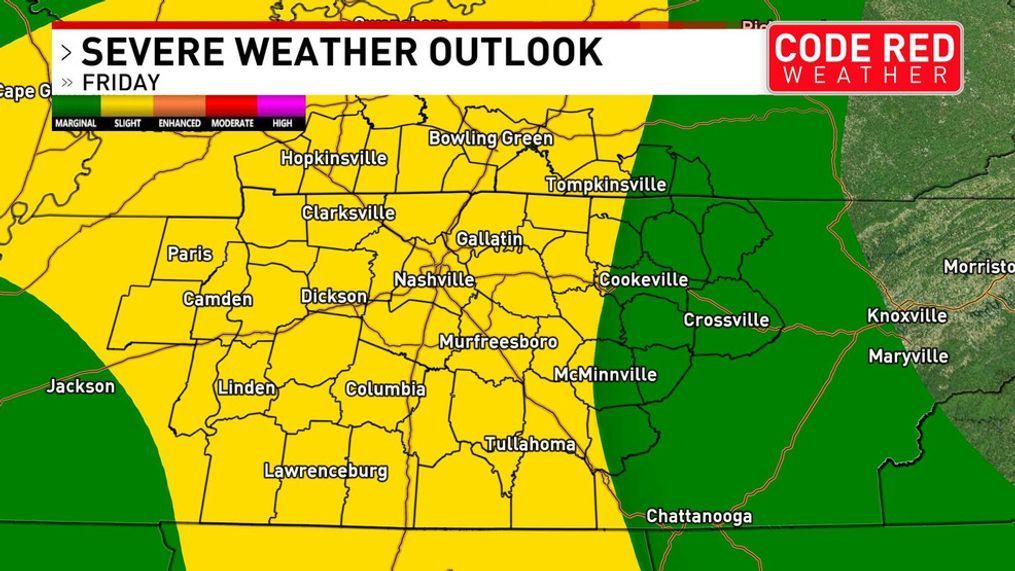
UPDATE (1:00pm)---FOX 17 News CODE RED Meteorologist Katy Morgan says the second round of storms coming to Middle Tennessee will have the potential for severe weather.
Severe storms will be possible later this afternoon, likely after 2 p.m.. Strong winds and a spin-up tornado will be possible. The system is expected to clear by 9 p.m. tonight.
---------------------------------------------------------------------------------------------------------
Code Red Weather is in effect today.
Our main threat is heavy rain this morning followed by a few severe storms in the afternoon and evening.
Rain will move into the area from 6 a.m. to 10 a.m. A few thunderstorms will be possible but conditions should clear by the early afternoon. Be aware of conditions as you head out on your morning commute.
Later storms are dependent on the atmosphere recovering from storms earlier during the day.
Storms will redevelop during the afternoon and evening along a cold front that will push through the Midstate between 2 p.m. and 10 p.m. Storms along this line could be strong.
The main threat associated with these storms will be damaging winds but hail and the possibility of an isolated tornado can't be ruled out.
Download the FREE FOX 17 Code Red Weather App for your iPhone, iPad or Android.